

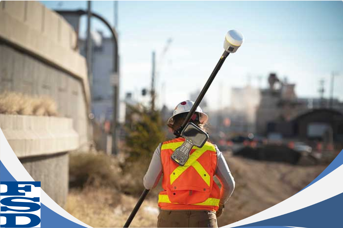
Across Canada, Land Surveyors play a vital role in defining, documenting, and maintaining our understanding of land - from Federal and Provincial properties to Municipal boundaries, territorial lands, and Indigenous communities.
Their work goes far beyond measurements in the field. As the eyes on the ground, surveyors connect real-world conditions with digital mapping, ensuring that land occupation, development, and property boundaries are accurately represented.
Through precise measurements, technical expertise, and geospatial data integration, land surveyors help build reliable Geographic Information Systems (GIS) that support:
- Property and parcel mapping
- Land-use planning and development
- Infrastructure design and construction
- Environmental monitoring and conservation
- Natural resource management
CONNECT WITH FSD SURVEYS
Contact us today to learn more about FSD Surveys and how we can support your next project.
FSD Surveys
275 - 30 Colonnade Road
Ottawa, Ontario
K2E 7J6
Phone:
(613) 727-8226
Email:
Website:
www.fsdsurveys.ca

