

Whether you're planning a new home, installing a fence, subdividing land, or starting a construction project, understanding your property's boundaries is the first step. A professional land survey provides the accurate information you need to move forward with confidence.
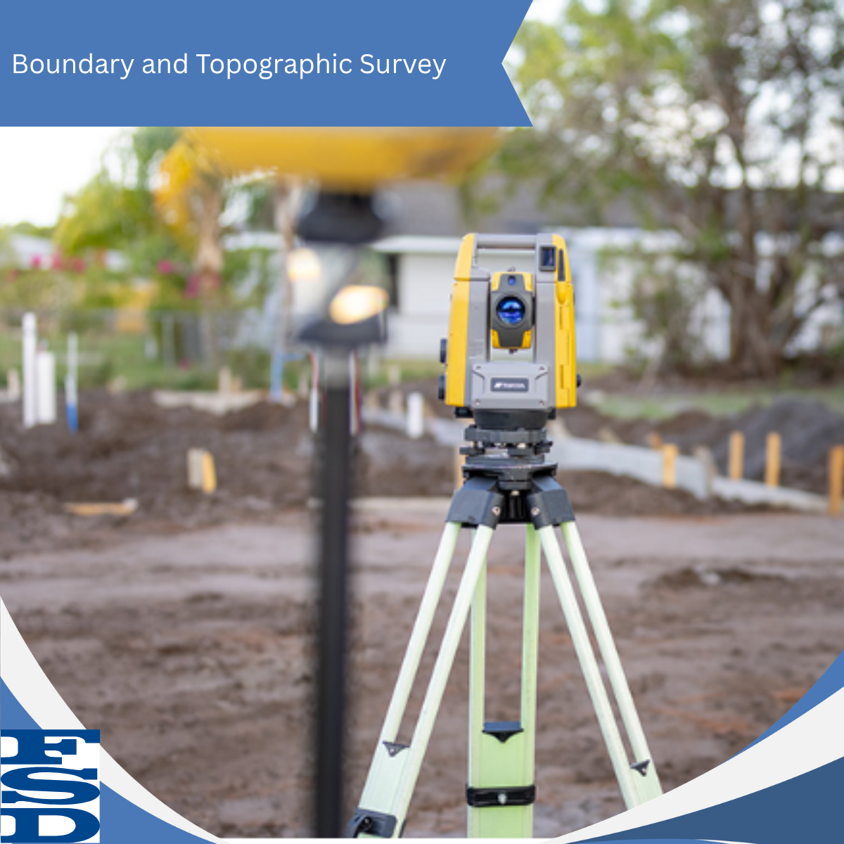
A Professional Land Surveyor measures and maps land to determine property boundaries, identify site features, and establish precise locations and elevations. These surveys help property owners, developers, engineers, and contractors make informed decisions and avoid costly surprises.
Boundary Surveys
Boundary surveys determine the exact limits of a property by analyzing legal records, historical survey evidence, and field measurements. This information is essential when purchasing property, planning a building project, installing a fence, or addressing potential boundary concerns with neighbouring properties.
Topographic Surveys
Topographic surveys map the natural and man-made features of a site, including elevations, slopes, trees, roads, utilities, and existing structures. This detailed information helps engineers, architects, and developers design projects that fit the land and minimize unforeseen challenges.
Why Does It Matter?
Accurate surveying helps protect your investment. By clearly defining property boundaries and providing reliable site information, a survey can help prevent disputes, support permitting and design requirements, reduce construction risks, and keep projects on track from the start.
CONNECT WITH FSD SURVEYS
Contact us today to learn more about FSD Surveys and how we can support your next project.
FSD Surveys
275 - 30 Colonnade Road
Ottawa, Ontario
K2E 7J6
Phone:
(613) 727-8226
Email:
Website:
www.fsdsurveys.ca

